The Points in a GPX File
A map can draw a smooth route from a short collection of coordinates. Opening the GPX file explains which places were recorded, planned or simply marked.
In this story 4 sections
On a map, a walk can look quite decisive. The line follows a riverside path, turns onto a bridge and reaches the far side. If the walk exists as a GPX file, the drawing may have been made from a string of separate positions. The position just before the bridge and the next position are written down. The space between them can be filled in by the viewer, the map software or the shape of the path it has chosen to display. That part of the line is easy to believe because it looks exactly as solid as anything else on the map.
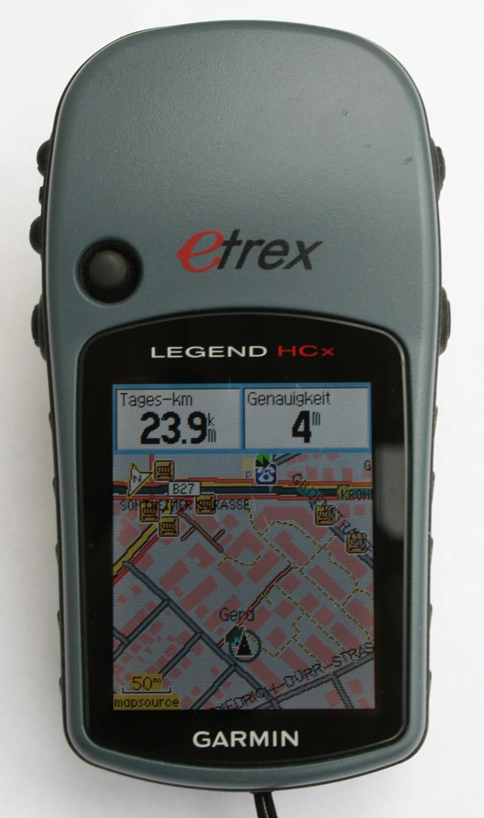
GPX, the GPS Exchange Format, offers a standard way to write geographic information in a file that can pass between programs. It is written using XML. If you open a personal copy in a plain text editor, the angle brackets surround pieces of information that a map program is intended to handle. The text is much less impressive than the picture it can be turned into. That is an advantage: the text can let you check what kind of position a particular thing was before the program decided how the whole route should look.
Three kinds of geography in one file
GPX 1.1 distinguishes standalone waypoints, routes and tracks. A waypoint can mark where a gate is, where the person walking met a friend or where a view is worth looking for. It need not be part of the line for a journey. A route contains an ordered list of route points. An application can use them to represent a planned course. A track contains track segments with ordered points in them. It can be used for a recording from a GPS receiver. The format offers places for these things; a program can also save a generated or edited track. A tag that makes the data a track does not certify that boots traveled over the ground.
Suppose you put three pins on a riverside map. They mark a station, a coffee kiosk and the mouth of a trail. If the pins were exported as three waypoints, they do not specify a trail between them. If the same positions were exported in order as route points, they would suggest a sequence. A routing application might be able to calculate actual connecting paths from its own map data. Such calculated turns may remain in the application unless its export includes additional points or cues. If the three positions were instead saved as a sparse track, some viewers might draw straight links between them. The same triples of numbers can serve three appreciably different purposes.
There are also optional fields. Elevation and time are familiar additions to a recorded track point, but the data need not contain them. The ordering of track points can be present even when precise times are absent. A viewer may still be able to draw a line while having no basis to calculate speed from one stored point to the next. Conversely a time attached to an individual waypoint may refer to when it was added, not to a period spent at the place. Read what object the field belongs to before treating the time as the hour a journey went past.
A bridge that fits inside a gap
Tracks can have several segments. One job of a segment boundary is to start a new continuous set when a device stops logging or the quality of the available positions changes enough to interrupt the record. Imagine a person losing a usable view of navigation satellites while going through a covered passage. The last position on one side and a later one outside can both be present. The file can distinguish them from adjoining points within the same continuous segment. A viewer that draws a line across the interruption may offer a convenient-looking summary that should not be mistaken for observations inside the covered passage.
What if the file only contains a single segment? It may still omit a considerable length of ground. Many recorders use some rule for deciding when to save the next position; an export can also thin the points to reduce file size. Between two points far apart, a curved path can turn into a short chord. A switchback can appear to have been crossed diagonally. You can sometimes detect this by zooming in on the line and looking for its vertices. Comparing the count of points before and after export makes a better test than comparing the apparent precision of the strokes.
The opposite error happens when a dense cluster looks like the person wandered in circles. A stationary receiver’s position estimates can vary. At one scale those variations are all inside the thickness of a line. Zoom closer and they may look like a series of purposeful little trips. Add times and a reference from the outing, such as a note that the receiver sat on the same bench, and the blob may be easier to explain. It is a useful instance of the difference between a position estimate and a distance someone actually traveled.
See how an export changed it
Work on a copy of an outing you have permission to inspect. Make three notes from the text of the file: the top-level objects present, approximate counts of points, and whether the track has one segment or several. Pick a named point or the time of one distinctive stop and see what the viewing program does with it. If you export the same thing from the viewer, keep the new file under another name. Compare only one property at a time; that is easier than trying to read all the angles and distances in the picture at once.
Software can have a good reason to make a change. It may translate notes onto its own model for names, reduce a densely recorded file for transfer or leave out material held in proprietary extensions. The format provides a place for extensions; familiarity with the standard elements does not make all such data portable to every program. An animation shown by one service might depend on timestamps or attributes that another program never imports. A cleanly drawn image on the receiving end is not a detailed inventory of all the material that arrived. If the information is part of a record you intend to keep, preserve the original.
Two coordinates may also look wrong because their order was assumed to be wrong. Pay attention to explicit latitude and longitude attribute names. Data translated to spreadsheets or some other geometry formats may be arranged in a different coordinate order. A sign in front of a longitude also matters. The safest small check is to identify one point familiar to you and make sure it still lands at a known location after any conversion. This is a limited check: it does not confirm that every subsequent line is intact. It solves an especially disorienting class of mistake before it leads you to question the whole map.
When you compare two versions, it can help to present a point as a small row of text: object type, sequence number, coordinates and whichever other fields actually exist. An early or late missing point will then have a visible place in the sequence instead of disappearing into a thin segment on a crowded map. A table of just three or four points around a suspected gap is often enough to account for the unexpected line.
Location and time are part of what you share
The convenience of GPX also makes it possible to share more than you meant to. If an outing includes the start outside a private address, a line through a small neighborhood and times of visits, these details may still be in the data when the public-facing image looks innocuous. Before sharing a file, decide which part of the trip and which fields someone else actually needs. A friend asking which footpath reached a riverside clearing might need a separate route starting at an agreed public place. They do not necessarily need the store of positions from when you first walked out the door.
Editors can hide a feature from a view while retaining it in a file. Check the version you mean to send, using the same simple inspection that shows whether a point belongs to a segment or route. If the file is for a group, let the people involved know what a track represents and remove private details for which there is no reason to publish. A screenshot and a data file put different demands on you. A screenshot can still give away a name or a place; a GPX file may additionally make positions and times available without any need to read the picture.
A simple folded-paper map in a pocket sometimes uses a broken line for a connection that has a different meaning from the solid roads around it. Many GPX views would benefit from carrying comparable distinctions. Next time you receive a solid colored line labeled with an enticing journey, find out whether it came from route points, a track or a program that built a path between a few convenient pins. You can admire the shape of the journey either way. With a quick look at what was stored, you also know how much of the shape the file can speak for.