Why a GPS Receiver Needs a Fourth Signal
A GPS receiver estimates where it is and how far its own clock differs from the system it is listening to. One extra unknown explains why a three-dimensional fix usually needs at least four satellites.
In this story 6 sections
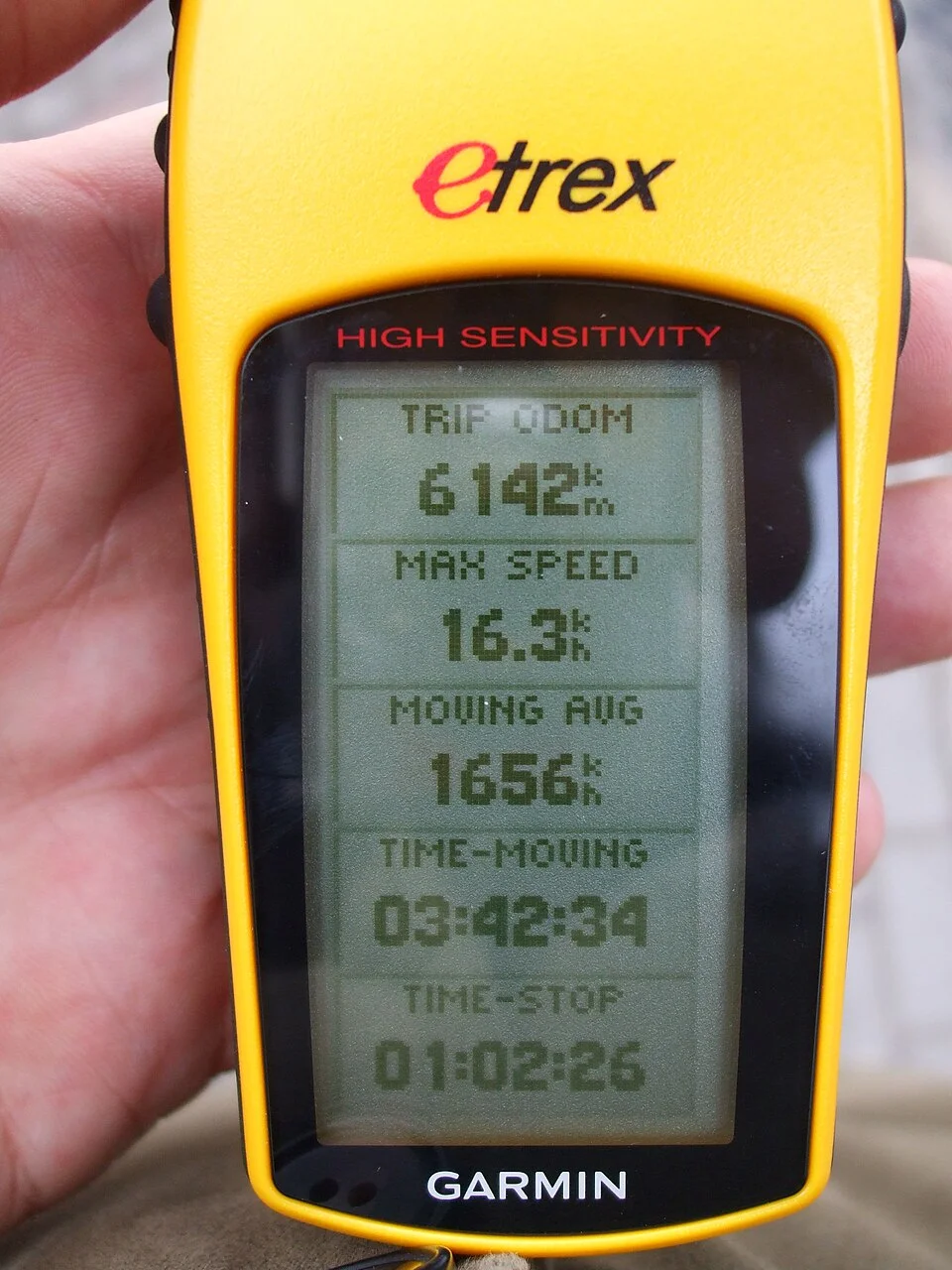
The yellow handheld receiver in tomasz przechlewski’s photograph has a small screen listing several numbers. It is light enough to hold in one hand. From that view nothing looks like a clock comparable to the clocks on navigation satellites. That is a useful clue to the design. The receiver gets a position by making measurements in which time matters enormously, but it need not require the user to begin with a perfectly synchronized clock. The position and the amount by which its clock differs from the reference can be inferred together.
A common first description of satellite navigation says that distances from several known points can locate an unknown point. That is true as far as it goes. In practice the receiver is listening for radio signals and deriving apparent distances from them. The start of the calculation therefore has an extra problem. If the timing at the receiver is offset, several distances can appear too large or too small together. The same observations that tell the receiver about its location have to let it distinguish its clock's error from actual differences in distance.
What a timed signal can say about distance
Imagine an ideal signal leaving one known location at a known time and arriving at another. With two properly synchronized clocks, the elapsed time represents how long the signal traveled. Multiply by its propagation speed, for a simplified case in which there is no additional delay, and the distance follows. GPS satellites broadcast signals that let a receiver determine the time and the satellite's position for the calculation. The receiver does not need to send a signal back to every satellite to obtain an ordinary fix. It uses what comes in.
Time changes rapidly into distance in this reasoning. A hundred nanoseconds multiplied by the speed of light is about thirty metres. This is a scale illustration, not a statement that a hundred-nanosecond error necessarily moves a particular point on a map by thirty metres. Rather, the error would affect a measured apparent range before the solution was calculated. One has to consider what happens when other measurements come into the same calculation. The size of that difference helps explain why an everyday clock set well enough for a person's routine can still be decidedly out of step in the context of timing a radio signal.
Another subtlety is that the receiver needs an appropriate place from which to draw the distance. A satellite is moving. Its location for the measurement is not merely a dot printed on a permanent diagram of the sky. The navigation information and the time for the observation help supply its position in the calculation. The simple geometrical picture is useful once there is a set of reference points attached to appropriate times. Before that, it is too vague to make the measured ranges agree.
Draw three dimensions, then add the clock
A known distance from a known point in ordinary three-dimensional space corresponds to a sphere of possibilities. A second exact distance from another point restricts the possibilities to their intersection. A third suitably placed known point restricts them further. A simple classroom exercise can make this memorable with circles on a flat map; the spheres are the corresponding idea when height matters. The picture assumes exactly known distances. That is the important condition to watch when moving from the exercise to the receiver in a hand.
The receiver's measured travel time includes the difference between its own clock and the reference time used in the satellite signals. In an idealized set of observations at about the same instant, a receiver clock offset adds a shared range-like term. The measurements are called pseudoranges because they are not just geometric distances. A solution has to choose a point in three dimensions and an offset that together explain the values. Those are four unknown quantities. In the simple unconstrained case, four independent observations provide the needed information to solve for them. Geometry still matters: the observations need to distinguish those quantities from one another.
There is a helpful way to think about what that fourth observation is doing. Moving the proposed receiver point toward one satellite may shorten one distance and lengthen another. Changing the proposed clock correction has a different common effect on the observations, independent of whether the receiver moved toward any one of the satellites. With suitably placed satellites the calculation can look for the combination of position and time offset that makes the apparent distances agree. The fourth satellite is not specially assigned to tell time while the other three locate the receiver. All of the measurements contribute to the joint result.
More observations can do useful work
A receiver may listen to more than four suitable signals. It can estimate a solution from more observations than there are unknowns and examine how well they fit together. That is useful because actual measurements are affected by conditions the simple geometry leaves out. Delay in the atmosphere may matter. Signals reflected from nearby objects can travel farther than the direct path. A measurement can be poor even when the receiver recognizes which satellite sent the signal. More measurements provide opportunities to constrain the estimate, though adding an inferior one without care is not a guarantee of improvement.
Where the satellites sit in the sky also matters. If all the useful signals arrive from much the same direction, a change in some directions may have nearly similar effects on their distances. A receiver with signals distributed in several useful directions has more ways to tell the possibilities apart. This is one reason the count of displayed satellites is an incomplete description of the quality of a fix. The practical question is which observations could actually be used and how independently they help locate the receiver.
Picture the same receiver held outdoors in one place with open sky and another with narrow gaps between buildings. The hardware hasn't changed. The possible paths from the satellites have. In the second place some signals might not be visible along a direct route. Others may arrive together from the part of sky the gap leaves available. A fix can therefore change as the user waits or moves even if the receiver is doing the same kind of calculation. The clock still needs to be included; changes in the surrounding reflections and in visible geometry affect the other parts of the estimate.
The dot and the map are different results
After the receiver has estimated a position, software may draw it on a map, combine it with other observations or save it to a track. The screen can mix those jobs into one display. A problem that looks like the wrong street may be about the estimate, the map or the way an application attached the estimate to a route. A recorded list of coordinates is another thing again. It can preserve some results of the calculation without containing everything used to produce them. Looking at the digits on the yellow device cannot show all the observations behind those digits.
Timing can also have value without a map. A device whose position is known through another means can use satellite observations with that fact already fixed, in a different problem centred on timing. The four-unknown account describes the common case of finding position in three dimensions and clock offset together. It should not be read as a rule that no useful measurement can ever be made from fewer signals under a different set of assumptions. A constraint supplies information, and what can be solved depends on which information the receiver has.
Distinguish the time of the reading from the time you see it
A position shown on a screen has to refer to an occasion when the device made or updated an estimate. An application can keep an older reading on screen while it is trying to get a fresh one. A stable dot can therefore have more than one explanation. It can be a good current estimate of a stationary receiver, or it can still be the last value available to the display. Notice how the application reports the age or status of its estimate before interpreting the absence of movement.
The same question can matter when comparing two pieces of equipment. A point reported several seconds earlier is not strictly comparable to one reported now if both people are walking. Put the readings into the context of when they were made. Even a useful estimate of position is easier to interpret when the display preserves the time that belongs to it.
Return to the small clock in the hand
The traveller holding the receiver doesn't have to set its clock to within a tiny fraction of a second before asking for a fix. The machine can use additional equations to estimate the difference from the reference it is hearing. The achievement is less mysterious once distances and clocks are put in their proper places. A radio measurement supplies a range affected by time. A collection of such measurements supplies a way to find the receiver and account for its timing together.
The fourth signal matters because an extra fact was missing from the simple picture of three dimensions. It gives the receiver more evidence against which to test all the other observations. The single position written on the screen is the most obvious output. The less visible accomplishment is finding a time reference good enough for that position to mean something.